PROJECT
Shatt Al-Arab Irrigation System Upgrade
Program name: Irrigation Infrastructure
Project type: Grant funding
Project status: Underway
Funded by: Jointly funded
Grant amount: $2,225,000.00
Project cost: $9,124,457.00
General Description
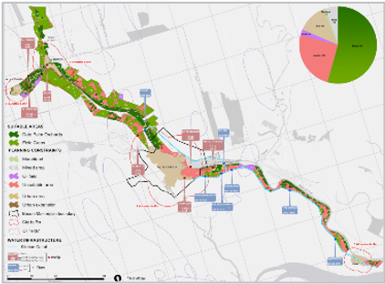
The project, one of the largest in Iraq and in the region, is located in the Basrah governorate, stretching over 1,000 square kilometers along the two banks of the Tigris River, originating from the Serafiyah River, south to the Kassara site to Qurna city; and, in the two banks of the Euphrates River from Mudaina town to Qurna city; plus in the two banks of Shat-al-Arab from Qurna city to Faw.
The main irrigation network made of lined concrete main and branch canals serves each of the seven complexes (A-B-C-D-E-F-G) of the project area with water. From the main irrigation network, distributary pumping stations feed the distributary pipelines that will deliver water to the hydrants of each farm plot. The drainage of the project area is realized on farm through the implementation of a subsurface drainage system except for the complex D where the high density of the ditches within the existing palm groves have oriented the choice to an open drainage system. The field drainage waters are carried towards collector drains and further to a network of secondary, branch and main drains. From there, the water is lift into the two main outfall drains – the East Main drain (EMD) and the West Main Drain (WMD) – that collect the drainage waters of the project and run on the boundary of the project area. The EMD drops its water into the Shatt al Arab south of Abu Al Khaseeb, whereas the WMD is discharging into the Shatt Al Basrah. For the Complex D, the drainage waters are discharged directly in the Shatt Al Arab.

The main irrigation network made of lined concrete main and branch canals serves each of the seven complexes (A-B-C-D-E-F-G) of the project area with water.
